In Brief
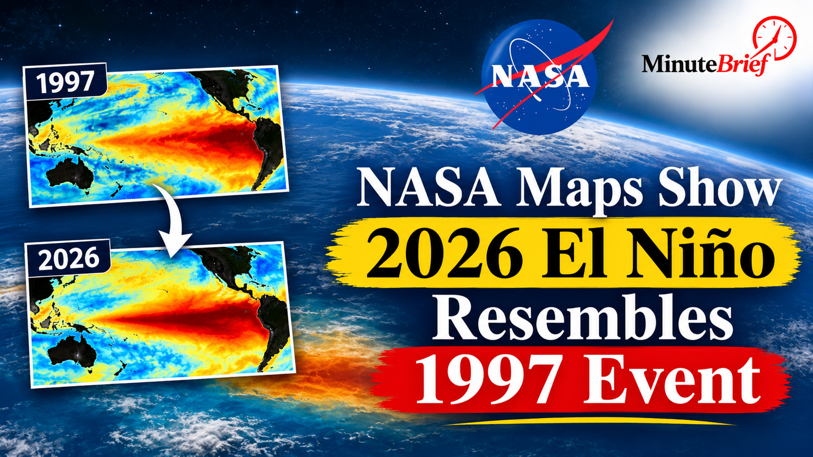
- NASA satellite maps show 2026 El Niño similar to 1997 event.
- NOAA estimates 83% chance of strong El Niño conditions in 2027.
- Elevated Pacific sea levels signal potential severe climate impacts.
- Strong El Niño events can disrupt weather, affecting regions like India.
Thirty-Five Years of Satellite Tracking Reveal a Familiar Pacific Pattern
Using more than three decades of continuous sea-surface height observations collected along identical orbital tracks, NASA scientists placed October 2026 measurements from the Sentinel-6 Michael Freilich satellite alongside October 1997 data from the TOPEX/Poseidon mission. After filtering out seasonal cycles and long-term sea-level rise, both maps displayed a prominent warm-water bulge extending from the central equatorial Pacific to the South American coast.
According to JPL oceanographer Josh Willis, while the 2026 event emerged far more suddenly than the 1997 El Niño, its spatial structure has aligned with the 1997 benchmark and could ultimately surpass it in scale.
Why Scientists Caution Against Assuming Identical Impacts
In its diagnostic discussions, NOAA noted that weekly Niño-3.4 sea surface temperature anomalies reached 2.3°C in early November, keeping the likelihood of a strong-to-very strong event high through the first quarter of 2027.
However, climate researchers stress that ocean temperatures are only one half of the equation. Because El Niño interacts with complex atmospheric circulation patterns and record background ocean warmth, regional outcomes can diverge from past events. For countries such as India—where El Niño is often associated with subdued monsoon rainfall—meteorologists note that a strong Pacific warming does not automatically trigger monsoon failure, as the Indian Ocean Dipole and regional atmospheric drivers also play decisive roles.