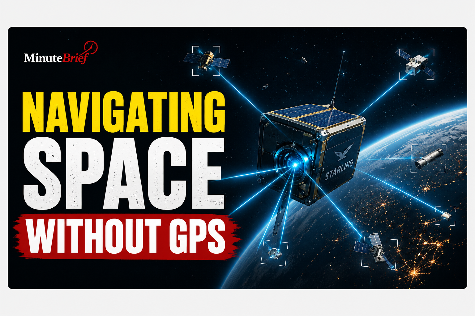
Satellites near Earth typically depend on GPS to navigate, but those signals grow weak or unavailable in deep space and distant orbits.
To solve this, NASA’s Starling mission successfully tested FALCON (Fast Autonomous Lost-in-space Catalog-based Optical Navigation)—a system that lets spacecraft calculate their position by using nearby satellites and space debris as orbital landmarks.
Key Highlights
- GPS-Free Navigation: Developed by NASA and Stanford spin-off EraDrive, FALCON uses standard star-tracker cameras to scan nearby space objects, matching them against a database of known satellites to pinpoint the spacecraft's exact location.
- Autonomous Orbit Updates: In a three-day test, FALCON operated entirely on its own to recalculate and refine the orbital paths of over 200 space objects, achieving greater accuracy than existing ground data.
- First-of-Its-Kind Milestone: This marks the first time a spacecraft has determined its own orbit using optical cameras based on position relative to other orbital objects.
Later this year, NASA will expand the experiment across all four Starling spacecraft, enabling them to share tracking data and navigate collectively in real time—a crucial capability for future satellite swarms at the Moon and Mars.
Source: Science Daily