In Brief
- A glacial lake outburst flood occurred at Shintaphu Lake in Bhutan's high-altitude Gasa district, sending heavy floodwaters down the Mo Chhu and Sankosh river systems.
- West Bengal and Assam authorities activated emergency alerts across North Bengal, including the Alipurduar, Jalpaiguri, Cooch Behar, and Dhubri districts.
- More than 10,000 residents living along the Sankosh River catchment area have been moved to relief shelters and safer ground.
- Heavy infrastructure damage—including destroyed bridges, roads, and natural hot spring facilities—was reported in Bhutan, though prompt evacuations prevented casualties.
- National Disaster Response Force (NDRF) and State Disaster Response Force (SDRF) teams have been deployed along the border belts to monitor incoming surge levels.
Himalayan Flash Flood: Bhutan Glacial Burst Puts North Bengal and Assam on High Alert as Thousands Evacuate
Disaster management agencies in eastern India were put on high alert on Friday, October 30, 2026, following a major Glacial Lake Outburst Flood (GLOF) in neighboring Bhutan. The sudden discharge of floodwaters from the high-altitude Himalayas has forced the relocation of thousands of residents living along the transboundary Sankosh River basin.
Glacial Burst Causes Surge in Transboundary Rivers
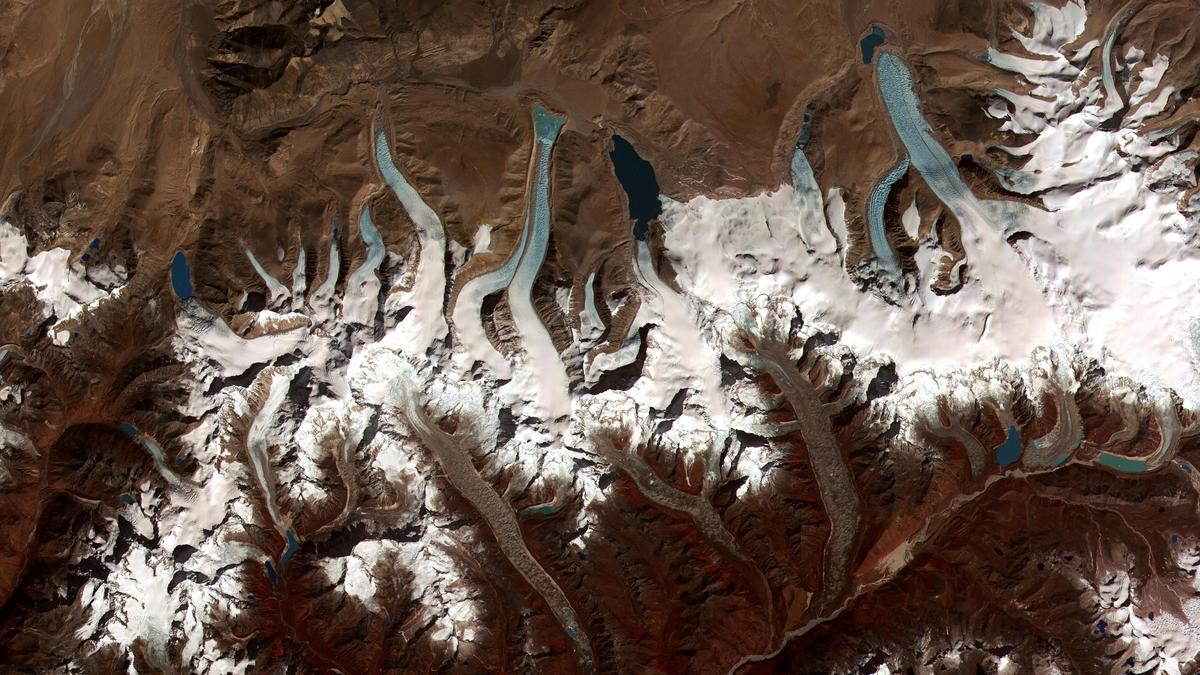
The disaster began late Thursday evening when Shintaphu Lake—located below Wakila Mountain in Bhutan's Gasa district—burst its banks. The rushing torrent flowed through the Mo Chhu river basin toward the Punatsangchhu system, which drains directly into India as the Sankosh River.
In Bhutan, the surge washed away crucial roads, damaged Bailey bridges, and destroyed infrastructure at the famous Gasa Tshachu natural hot springs. State broadcaster Bhutan Broadcasting Service (BBS) confirmed that timely localized evacuations in Bhutan prevented injuries or fatalities.
Indian Border Districts Respond with Mass Evacuations
As floodwaters surged downstream toward the plains, the Indian Government and West Bengal state authorities issued urgent flood advisories. Authorities estimated that the primary surge would hit border points within six to eight hours, putting downstream communities in West Bengal’s Alipurduar, Cooch Behar, and Jalpaiguri districts, as well as Assam’s Dhubri district, at severe risk.
More than 10,000 residents from vulnerable riverside settlements were evacuated to temporary relief centers. Units of the National Disaster Response Force (NDRF) and State Disaster Response Force (SDRF) have taken up positions in key border zones, including Tufanganj and Boxirhat, to oversee search, rescue, and monitoring efforts.
Ongoing Oversight and Regional Impact
State ministers and regional elected representatives issued public appeals on Friday morning, asking communities in the Darjeeling hills, Terai, and Dooars regions to avoid riverbanks and follow safety guidelines. Emergency response teams continue to track river levels across the border as the floodwaters move through the plains.