In Brief
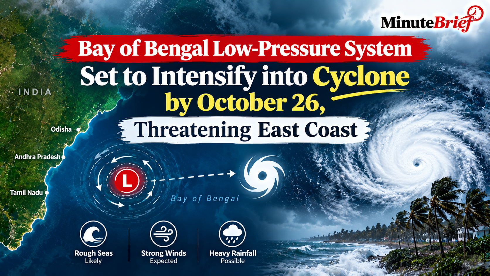
- The low-pressure area, tracked by the IMD Bhubaneswar Met Centre on October 23, 2026, is expected to deepen into a depression and subsequently mature into a cyclonic storm over the west-central Bay of Bengal.
- The system is tracking on a west-northwestward path, placing the north Andhra Pradesh and south Odisha coastlines directly in its projected path for landfall around October 27–28.
- State disaster management authorities have issued strict warnings, advising fishermen to return from the sea and mobilizing district administrations for expected heavy to extremely heavy rainfall.
Developing Weather System and Timeline
The India Meteorological Department (IMD) reported that a low-pressure area persisted over the east-central and adjoining southeast Bay of Bengal at 8:30 a.m. on Friday, October 23, 2026.
According to meteorologists, atmospheric and sea conditions are highly favorable for further intensification. The system is projected to evolve systematically over the coming days.
Potential Severity and Official Warnings
While exact landfall coordinates and peak intensity remain subject to minor shifts as the system organizes, weather models indicate wind speeds could reach 70–80 km/h, gusting up to 90 km/h as the storm nears the coast.
The IMD has warned of heavy to extremely heavy rainfall across coastal districts in Odisha and Andhra Pradesh starting around October 27.
"The sea is already rough over the east-central and southeast Bay of Bengal and is likely to become very rough in the coming days," noted IMD Director General Mrutyunjay Mohapatra, urging complete caution for offshore operations.
State Preparations and Advisory
Governments in Odisha and Andhra Pradesh have initiated high-level preparedness reviews. District collectors across vulnerable corridors have been put on alert to manage potential localized flooding, waterlogging, and infrastructure disruptions.
Fishermen currently out at sea have been strongly advised to return to safe harbors, and residents in coastal zones are encouraged to monitor updates closely as the system consolidates over the weekend.