In Brief
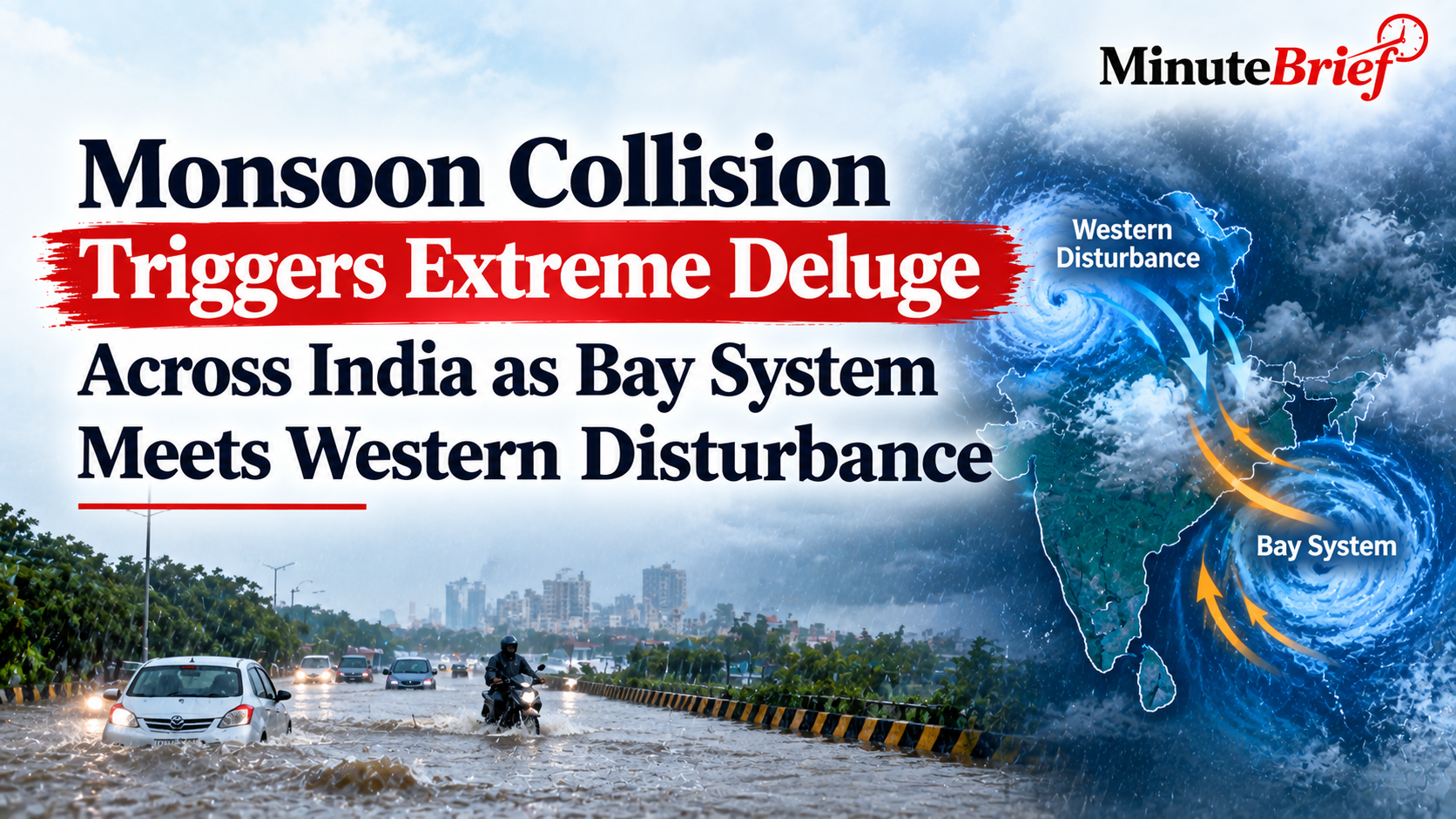
- Moisture-laden winds from a Bay of Bengal weather system collided with a Western Disturbance active over northern India.
- The severe weather system resulted in 10 fatalities and 17 injuries across Uttar Pradesh within 24 hours.
- Rainfall levels reached up to 19 times normal single-day averages, with Banda recording 227.6 mm and Lucknow logging 125.8 mm.
An atmospheric convergence involving two distinct weather systems triggered heavy downpours, thunderstorms, and high-speed winds across northern and central India. The India Meteorological Department (IMD) confirmed that a deep depression originating over the Bay of Bengal moved across central landmasses toward Uttar Pradesh, drawing vast moisture reserves into the lower atmosphere. Simultaneously, a upper-air Western Disturbance located over northwestern India collided with this moisture-heavy air mass, causing rapid cloud condensation and localized cloudburst-like precipitation events.
The resulting deluge caused severe infrastructure damage and flooding, particularly in Uttar Pradesh, where 63 out of 75 districts recorded excess rainfall levels. State emergency authorities confirmed 10 fatalities—caused primarily by wall collapses and uprooted trees—alongside 17 injuries across Lakhimpur Kheri, Amethi, Barabanki, and Gorakhpur districts. The storm damaged over 117 residential structures, disrupted power supply networks, and inundated major transport corridors, prompting state authorities to issue flash flood alerts for the central and Terai regions.